Specializing in the sales, maintenance, and technical guidance of surveying and mapping instruments
Service hotline
158-9286-8846
Specializing in the sales, maintenance, and technical guidance of surveying and mapping instruments
Service hotline
158-9286-8846
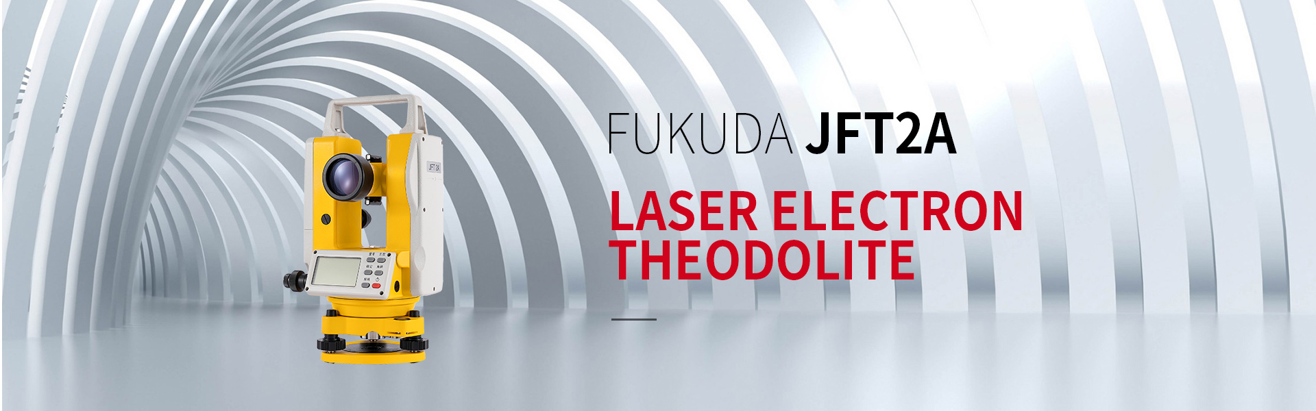

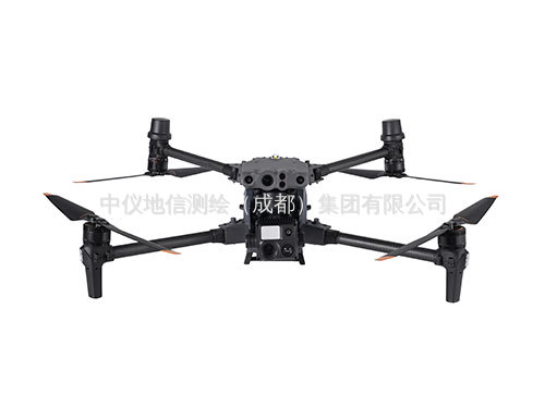
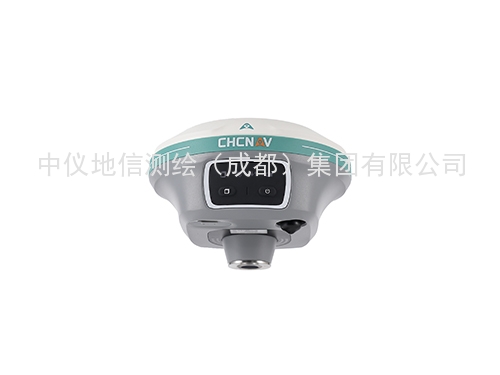
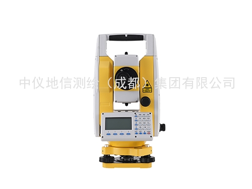
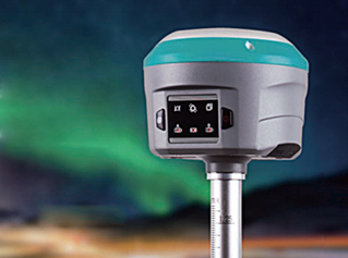
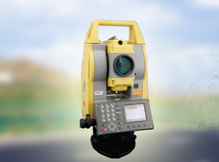
 PRODUCT
158-9286-8846
ENQUIRY HOTLINE
158-9286-8846
OUR ADVATAGES
Has a group of experienced technical personnel, annual investment fixed R & D costs, R & D technology timely transformation, product innovation, technological innovation

The company for Topcon, Leica, Pentax, Nikon and other foreign brands of surveying and mapping instruments in Sichuan special dealers

Provide covering consultation, equipment selection, equipment maintenance and the whole process of professional services, fine business process, let you worry.

The city free delivery, installation, commissioning, door-to-door repair of all kinds of products, foreign customers through logistics, express delivery, telephone technical guidance
OUR ADVATAGES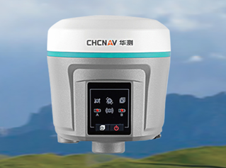
In recent years, the rapid rise of China's mining industry has strongly promoted the rapid development of the national economy. The space and location of mining activities are in a constantly changing process
With the development of technology and social progress, people in all walks of life have an increasing demand for information technology. Information needs to be collected through some means

In recent years, the National Development and Reform Commission, the National Energy Administration, the Ministry of Natural Resources, etc. have successively issued the Action Plan for Energy technological revolution Innovation (2016-2030)
With the progress of technology and the continuous development of modern measurement technology, the demand for the accuracy of measurement equipment and stability in complex environments in field operations has greatly increased
ABOUT US
The company was founded in 1997 and headquartered in the Land of Abundance(Chengdu).After 25 years of development,it was renamed as a comprehensive company integrating surveying and mapping engineering,surveying and mapping instrument sales,surveying and mapping software research and development,system integration,and integrated professional
INDUSTRY DYNAMICSCOOPERATIVE BRAND


PHONE:15892868846

EMAIL:517914222@qq.com

ADDRESS:No.25 Renmin North Road Section, Jinniu District, Chengdu, 1-4