Specializing in the sales, maintenance, and technical guidance of surveying and mapping instruments
Service hotline
158-9286-8846
Specializing in the sales, maintenance, and technical guidance of surveying and mapping instruments
Service hotline
158-9286-8846

contacts:蒋超
telephone:15892868846
sebsite:www.sczydx.com
postbox:517914222@qq.com
address:No.1204,Building 3,No.595,Jinzhou Road,Jinniu High tech Industrial Park,Chengdu,Sichuan Province
Industry background
GNSS static measurement technology is widely used in various fields of modern economic society with the characteristics of high efficiency,high accuracy,all-weather,and no need for intervisibility between points.It has important application value in measurement,military,transportation,and other fields,especially in urban and engineering surveying.This technology is highly favored by surveying and mapping workers.
Solution
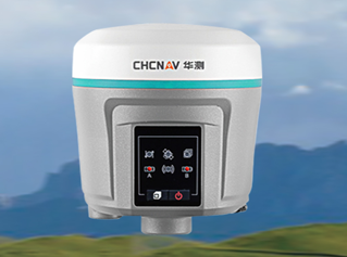
Using the intelligent RTK system of Starfish RTK and HGO static post processing software,it supports multi satellite and multi frequency GNSS static data resolution.
1.Preparation before testing
According to the GNSS measurement specifications and the requirements of the E-level network,combined with the on-site situation,carry out the GNSS static network design,and then select points and bury rocks to develop an observation plan.
2.Field observation
(1)Erecting station:centering and leveling;
(2)The height of the measuring instrument(the slope height from the height measuring piece of Starfish RTK to the measuring point);
(3)Start the machine(start recording after one minute when the lock star is normal);
(4)The surveyor records the station information(station number,instrument number,instrument height,start time,and end time),downloads the observed static data to the computer,and then inputs the station name and instrument height into the observation file according to the field record table.
3.Static data post processing
Open the HGO static post processing software,import all static data into the software,set baseline calculations,check synchronous and asynchronous loops,perform network adjustment,and export the adjustment report after completion.The entire static post processing is complete.
Program Advantages
1.New multi frequency host with high GNSS static observation data quality;
2.HGO post processing software supports multi satellite system data settlement;
3.The post-processing solution speed is fast,the software intelligently analyzes and processes the solution,with less manual intervention,and is simple and reliable.

PHONE:15892868846

EMAIL:517914222@qq.com

ADDRESS:No.25 Renmin North Road Section, Jinniu District, Chengdu, 1-4