Specializing in the sales, maintenance, and technical guidance of surveying and mapping instruments
Service hotline
158-9286-8846
Specializing in the sales, maintenance, and technical guidance of surveying and mapping instruments
Service hotline
158-9286-8846

contacts:蒋超
telephone:15892868846
sebsite:www.sczydx.com
postbox:517914222@qq.com
address:No.1204,Building 3,No.595,Jinzhou Road,Jinniu High tech Industrial Park,Chengdu,Sichuan Province
Application background
With the development of technology and social progress,people in all walks of life have an increasing demand for information technology.Information needs to be collected through some means,and the construction of informatization also puts forward higher requirements for information collection equipment and collection results.For example,in the fields of construction,architecture,cultural protection,surveying and mapping,traditional measurement methods such as total station,RTK,and other equipment cannot meet the requirements of comprehensively reflecting the current situation due to their discrete point measurement results,which is also very inefficient,difficult to control accuracy,and difficult to reuse data.The obsolescence of measurement methods has also become a major factor restricting information construction such as BIM and CIM.
Solution
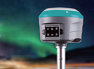
Use a Z+F three-dimensional laser scanner for measurement,with massive three-dimensional point cloud data that fully reflects the on-site situation,and millimeter level accuracy to ensure that the measurement results meet the requirements;
Z+F 3D laser scanner is a portable scanning device that is easy to operate,greatly reducing labor costs and field work time;
The Z+F 3D laser scanner has strong data compatibility and can be imported into platforms such as CAD,3DMAX,REVIT,and arcGIS to achieve one-time data collection and multiple utilization.
Office processing
Data preprocessing
Import the collected raw data into a computer and use the equipment's own processing software for preprocessing,mainly including noise removal,site splicing,control coordinate conversion,color point cloud generation,data cutting and export,and other steps.
Post processing
Data post processing
Use professional processing software to post process data and generate relevant required results.
Application range of 3D laser scanner:
Factory renovation,agriculture,forestry,tunnel survey,mine survey,steel structure detection,goaf detection,cultural relics protection

PHONE:15892868846

EMAIL:517914222@qq.com

ADDRESS:No.25 Renmin North Road Section, Jinniu District, Chengdu, 1-4